


14.4 km | 19.4 km-effort

User


FREE GPS app for hiking
 SityTrail
IGN / Geographical institutes
SityTrail World
The world is yours!
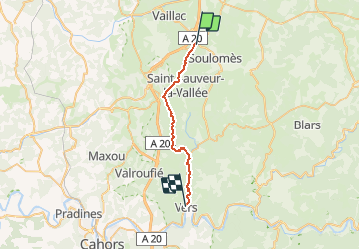
Trail Walking of 24 km to be discovered at Occitania, Lot, Cœur de Causse. This trail is proposed by tracegps.
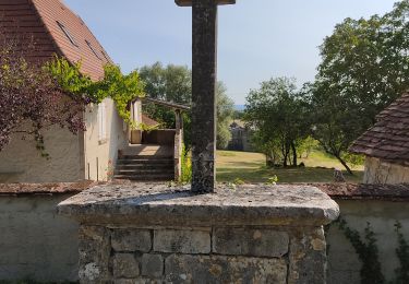
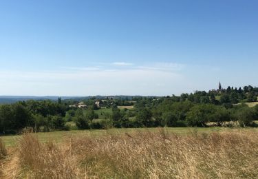
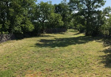
Etape 19 de la Via Arverna, chemin de Saint Jacques de Compostelle entre Clermont-Ferrand et Cahors. « Avant-dernière étape permettant d’entrer dans le parc régional naturel du Quercy. Passage essentiellement dans les plaines puis dans les sous-bois le long de la rivière Vers. Arrivée dans la commune du même nom que la rivière. Vous croiserez très peu d’habitations. Cette étape marque aussi la jonction au niveau du gite du Pasturat avec l’une des variantes de la GR 65 (via podiensis partant de Figeac et longeant la vallée du Célé via Saint-Cirq-Lapopie pour rejoindre Cahors). » Retrouvez l'étape n° 19 sur le site de la «Via Arverna - chemin Saint-Jacques-de-Compostelle» ainsi qu'ICI sur le site de la « Via Arverna ».
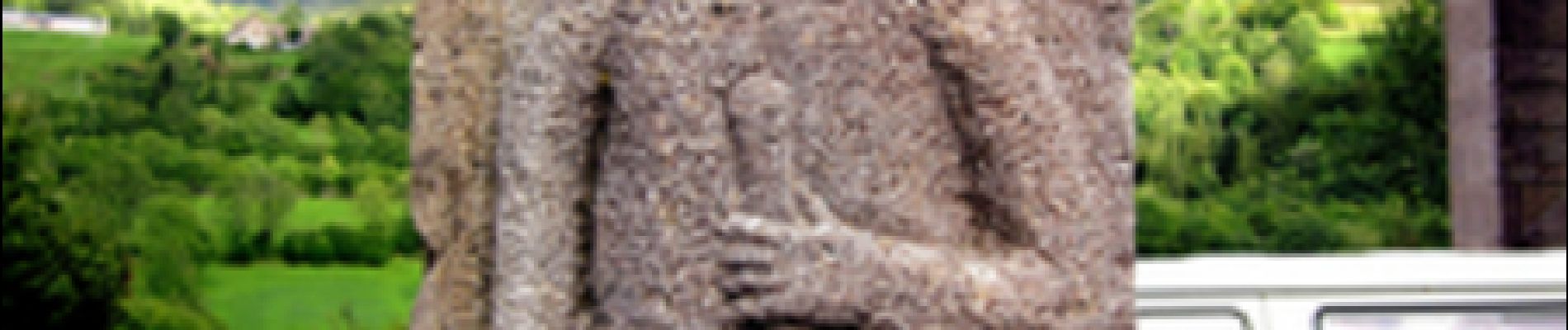
 - Photo 1")
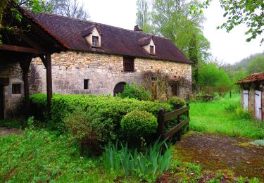
 - Photo 2")
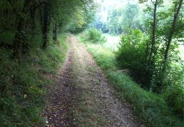
 - Photo 3")
 - Photo 4")
 - Photo 5")
 - Photo 6")
Walking
Walking
Walking
Walking
Walking

Walking

Mountain bike
Walking
Mountain bike